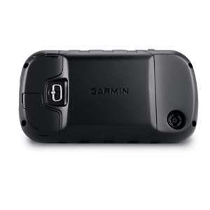
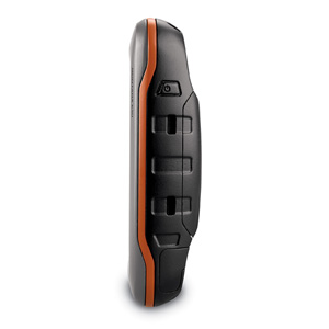
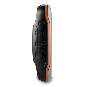
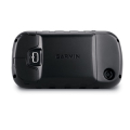
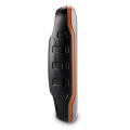
Product Description

Physical & Performance


with 3 AA batteries (not included)

Physical dimensions 2.9″ x 5.7″ x 1.4″ (7.48 x 14.42 x 3.64 cm)
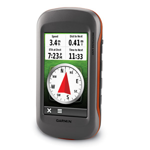
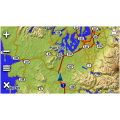
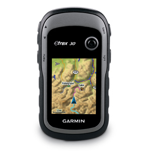
Display size, WxH                                                 2″W x 3.5″H (5.06 x 8.93 cm); 4″ diag (10.2 cm)
Display resolution, WxH                                     272 x 480 pixels
Display type                                                           bright, transflective 65k color TFT, dual-orientation touchscreen; sunlight readable
Touchscreen                                                         Yes
Weight                                                                   10.2 oz (289 g) with included lithium-ion battery pack; 11.7 oz (333 g)
Battery                                                                   rechargeable lithium-ion (included) or 3 AA batteries (not included); NiMH or Lithium recommended
Battery life                                                             up to 16 hours (lithium-ion); up to 22 hours (AA  batteries)
Water rating                                                         IPX7
High-sensitivity receiver                                   Yes
Interface                                                               high-speed USB and NMEA 0183 compatible
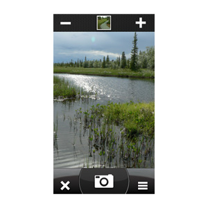
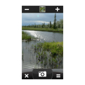
Camera                                                                 yes (5 megapixel with autofocus; automatic geo- tagging)
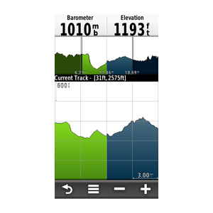
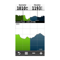
Barometric altimeter                                         Yes
Electronic compass                                             Yes (tilt-compensated 3-axis)
Unit-to-unit transfer (shares data wirelessly with similar units) Yes


Maps & Memory

Basemap                                                             Yes
Ability to add maps                                         Yes
Built-in memory                                              3.0 GB
Accepts data cards                                           microSD™ card (not included)
Custom POIs (ability to add additional points of interest)                       Yes
Waypoints/favorites/locations                   4000
Routes                                                               200
Track log  10,000 points, 200 saved tracks


Outdoor Features

Automatic routing (turn by turn routing on roads) Yes (with optional mapping for detailed roads)
Geocaching-friendly                                         Yes (Paperless)
Custom maps compatible                               Yes
Hunt/fish calendar                                         Yes
Sun and moon information                           Yes
Tide tables                                                         Yes (with optional Bluechart)
Area calculation                                              Yes
Picture viewer                                                 Yes

Garmin Connect®


Garmin Connect™ compatible (online community where you analyze, categorize and share data) Yes